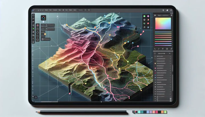
QGIS Shortest Distance Calculation

Introduction to QGIS and Distance Calculations
Welcome to the exciting world of QGIS, a great tool to learn about maps and geography! QGIS is a free software that helps you look at and understand spatial data. One of its coolest features is helping you figure out how far apart things are. This can be super helpful if you’re curious about how things are arranged or if you’re planning a trip.
Figuring out the shortest distance between places is something many people do with maps. Whether it’s planning a new road or just seeing how close two parks are, knowing distances can be really useful. In map-making, finding the shortest path is important because it helps you save time and make things easier.
In this article, we’ll focus on QGIS shortest distance calculation techniques. You’ll learn how QGIS can help you figure out not just straight-line distances but also the shortest distance from any outer edge of an object, like from the edge of a park to the nearest road. With QGIS, you can easily calculate these distances and see them on a map. So, let’s start using QGIS to find the hidden secrets in your data!
Calculating Shortest Distance Between Objects
Now that you know a bit about QGIS, let’s see how to calculate the shortest distance between objects using this amazing tool. Whether you’re looking at points on a city map or measuring from one park to another, QGIS makes it easy.
- Step 1: Open QGIS and load your map data. This could be buildings, parks, or roads.
- Step 2: Use the “Distance Matrix” tool from the “Vector” menu. This tool helps you find the shortest distance between points.
- Step 3: For more advanced tasks, like measuring the shortest distance from any outer edge, use the “Hub Distance” tool. This helps when you want to know the distance from the edge of a park to the nearest road.
Using pictures or diagrams as you work can help you see each step clearly. With practice, you’ll find that QGIS is a fun and powerful tool for finding distances.
Leveraging OpenStreetMap Data for Large-Scale Analysis
For big map projects, having lots of details is important. That’s where OpenStreetMap (OSM) comes in. OSM is a big map that anyone can use and update. By using OSM data in QGIS, your work can be more detailed and accurate.
- Step 1: Import OSM data into QGIS. Use plugins like “QuickOSM” to download the data.
- Step 2: Search for the data you need, like roads or buildings. This data helps when you calculate the shortest distance between objects.
- Step 3: Use this data for large-scale analyses. For example, if you’re planning a new bus route, OSM data can show you all the roads and buildings in the area.
By using OSM data, your QGIS projects will be more detailed and precise. Whether you’re working on city planning or environmental studies, this data is a big help.
Practical Application: Biergarten Distance Spreadsheet
Let’s use what you’ve learned with a fun example: making a spreadsheet with every single Biergarten and its shortest distance to a specific spot. This will show you how QGIS can be used for fun and practical things.
- Step 1: Get a list of Biergartens and their locations. You can find this online or in local directories.
- Step 2: Import this list into QGIS as a layer.
- Step 3: Pick a location to measure from, like the city center. Add this as another point in QGIS.
- Step 4: Use the “Distance Matrix” tool to find the shortest distance from your chosen point to each Biergarten.
- Step 5: Export your results to a spreadsheet. This gives you a handy list of distances.
This example shows how QGIS can mix map skills with everyday projects. Whether you’re planning a Biergarten tour or just curious, these skills are great to have.
Conclusion and Further Exploration
Great job learning about QGIS shortest distance calculation! You’ve seen how to use QGIS to find the shortest distances between places, whether it’s from one park to another or from a Biergarten to the city center. These techniques are useful for many projects.
In this article, we’ve covered how to calculate the shortest distance between objects, including measuring the shortest distance from any outer edge. We also talked about using OpenStreetMap data for bigger projects, making your work more detailed and accurate. Lastly, we did a fun, real-world example by making a spreadsheet with every single Biergarten and its shortest distance to a spot.
Now that you know the basics, it’s time to learn even more. QGIS has many more tools and plugins to explore. Whether you’re interested in making cool map visuals or diving into deeper analyses, there’s lots to discover.
To keep learning, join online groups like “rstats” or “visualization” on Reddit. You can find tutorials and meet others who love QGIS. The more you practice, the better you’ll get at solving map challenges.
Thanks for choosing StatisticalExplorer to learn about QGIS. We hope this article has helped you apply these tools to your own projects. Keep exploring, keep learning, and let the world of maps open up new possibilities for you!